So I thought and thought and thought about how exactly I should open this article. In my feature writing class in college, I was taught about how you’re supposed to whet the audience’s appetite with a catchy line that gets them hooked so they don’t stop reading. But I couldn’t come up with just one. This actually became a topic of brainstorming on the hike, and we came up with many. In case you’re curious, coming up with many ways to start an article about something as simple as a hike is not a good sign. I thought about an opening something like: “So you think you want to hike the French Creek Natural Area? Yeah, we thought so, too.” Or maybe: “You will get wet. No, seriously: You will get wet.” Or even something like: “Thirty-nine creek crossings? That’s cute.” Or: “‘Hike French Creek,’ they said. ‘It will be fun,’ they said.” As we hiked, we were brainstorming how exactly this article would go and every little while, a new, darkly-humorous, potential opening line would come to mind and we’d bat it around for awhile while we waded through knee-high water at mile 10 of the hike. I also thought about opening with a short anecdote, about how I crawled into bed and lay there drifting off and waking up with a jolt as I dreamed I’d fallen off rocks into the creek or over a cliff or something….over and over.
Now, to be fair to Custer State Park, they do give fair, clear warning at either end of the trail: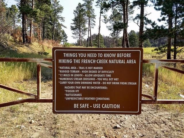 The signs are put up where they absolutely cannot be missed, and have brand new meaning now that I’ve been from one end to the other. Sometimes what I read while researching a hike strikes me as a caution given for the sake of tourists who might be looking for a hike but they live at sea level, yada, yada, yada. Yeah, not this one. They’re serious. But what I was wondering is how many people who have written articles on the casually-stated “moderate 12 mile hike” through the French Creek Natural Area have ever actually hiked it end to end in one day themselves, or hiked any of it, ever, at all.
 Briefly, the trail stats for the French Creek Natural Area, since any hiking article has to cover those, at a minimum: The trail is roughly 12 miles long end-to-end, largely unmarked, though about the first 8 miles from the western trailhead is very navigable and about a mile or mile and a half from the eastern trailhead is also easily navigable. We’ll talk about the middle later. There are 39 (or so) creek crossings. The two points of entry are either from the west at French Creek Horse Camp, or from the east along the Wildlife Loop Road at the French Creek Trail Head. One or two other trails intersect this, including one at Fisherman’s Flats, so there are options for doing a through hike but cutting it shorter than the 12 miles. We hiked west to east, parking one vehicle at the eastern terminus, driving to the western trailhead, and hiking from there. It was a great choice for this hike, since it meant we were overall losing elevation, though the hike was still a very good workout. The 12 mile end-to-end version is not what I’d call a kid-friendly hike. I also don’t recommend doing it if you have a serious poison ivy sensitivity!
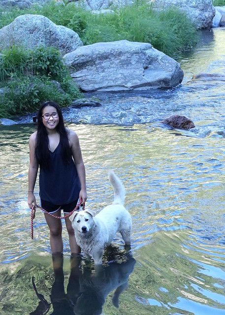
We got a little bit of a late start on this glorious first day of fall, since I’d kind of forgotten how long it took to get all the way around the Wildlife Loop. We met up at about 9:30, parked my truck, drove Axel’s car to French Creek Horsecamp, which is the western trailhead for the French Creek Natural Area. We started on the trail at 10:15. The first creek crossing wasn’t more than a half mile in, and the realization hit us fast that “creek crossings” really meant “creek crossings.” Like, with lots of water. And no good way across. We managed to scramble over without getting wet. Barely.  The second creek crossing was wetter, the next was wetter, and we quickly gave up all pretense of keeping dry. I hiked for several miles in sandals, which worked okay for the crossings, but wasn’t great on the feet overall. I began to realize that “You will get wet” was not, as I had thought, an exaggeration or referring to getting a splash here and there. They meant it. You WILL get wet.
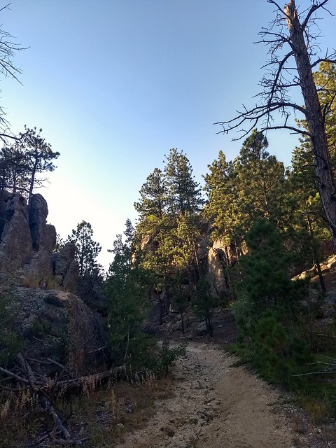
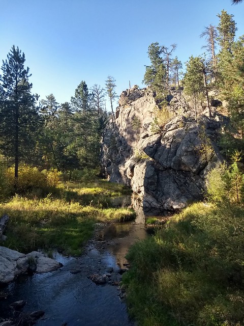
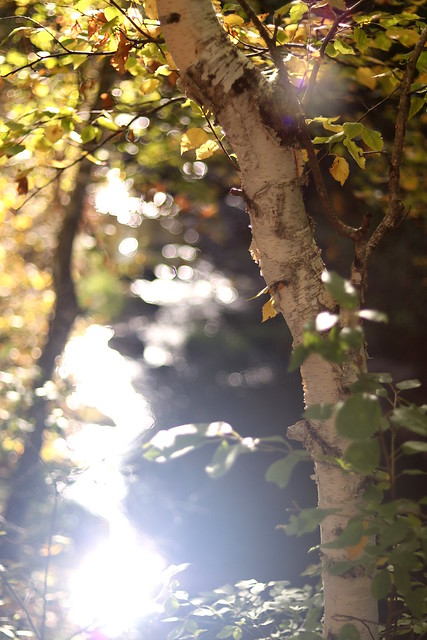
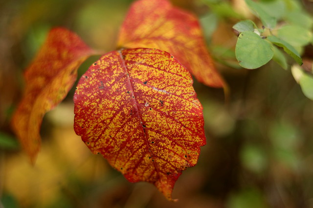
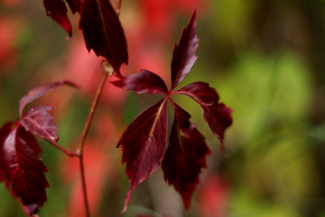
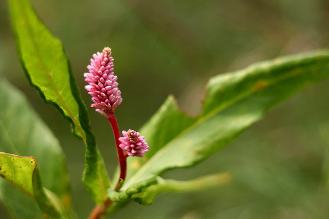
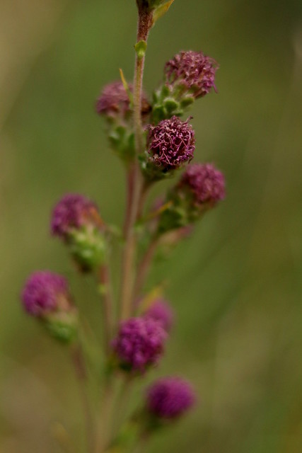
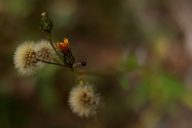
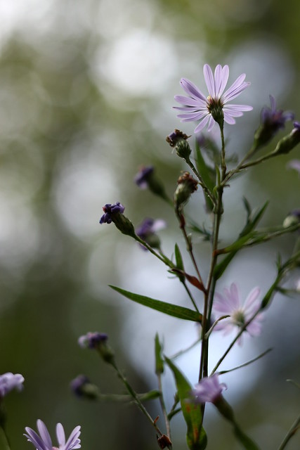
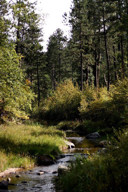
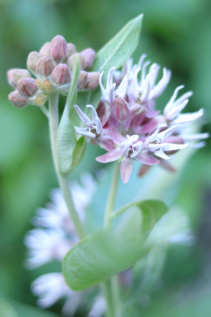
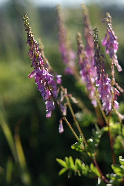
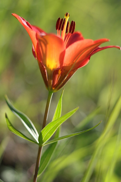
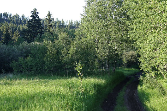
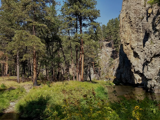
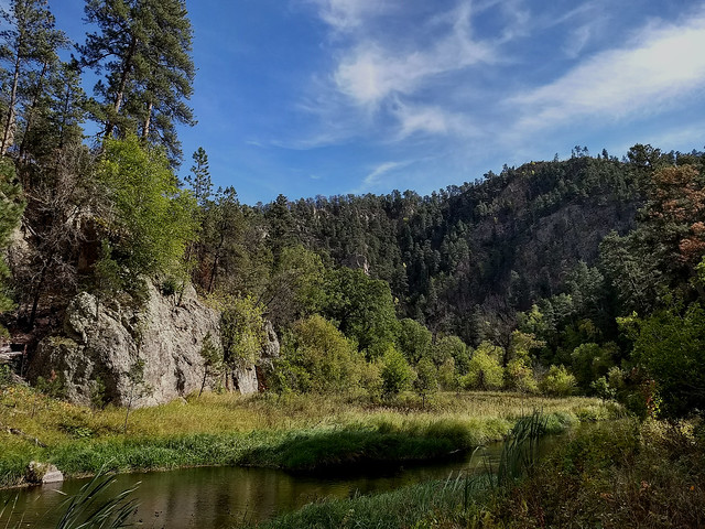
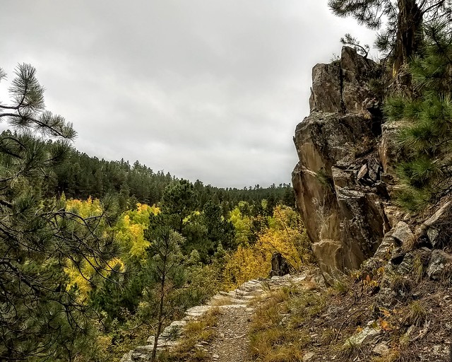
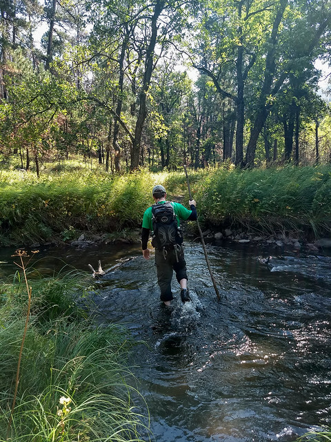 The views along this trail were absolutely pristine. French Creek Natural Area is kept in such a way as to minimize human impact on it, so other than the trail itself and occasionally a blaze on a tree marking intersections with other trails, and evidence of human fire suppression efforts from the Legion Lake Fire, the area was wonderfully untouched. Open forest opened up to wide open meadows. Looming canyon walls, enormous boulders, and of course the creek, were stunning under a blue sky. These pictures don’t do the landscape justice, of course, particularly since the only camera I took was on my phone.
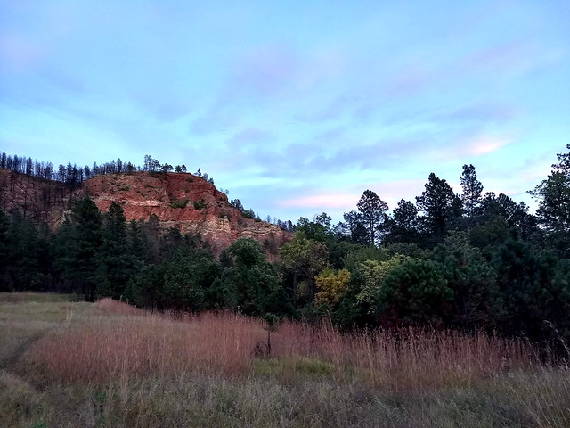
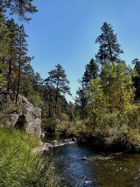
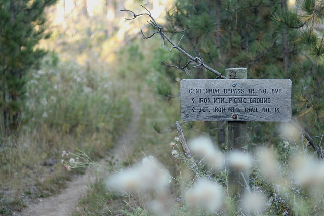
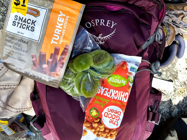 At Mile 6, the halfway point, we took our lunch break. We’d been hiking only about 2 or 2 1/2 hours and had made great time overall. Lunch was refreshing – dried fruit, dried chickpeas, beef jerky, turkey sticks, and hardboiled eggs are great hiking food – and we continued on our merry way, feeling great about life and optimistic about the remaining 6 miles of the trail. We started to keep an eye out for “the Narrows,” the pinnacle of the hike, but it never came, and never came. We started to wonder if in recent years the trail had managed to bypass this ominous spot.
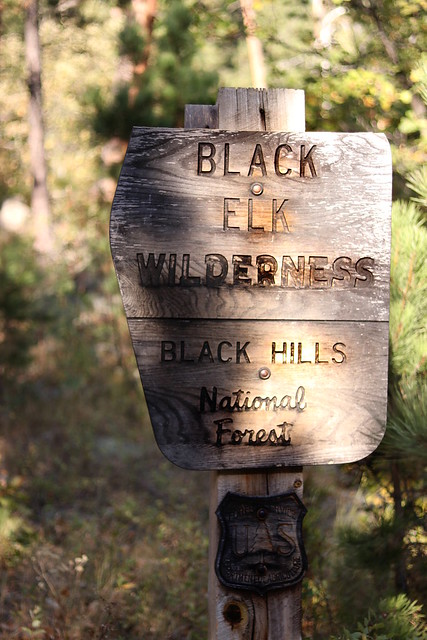
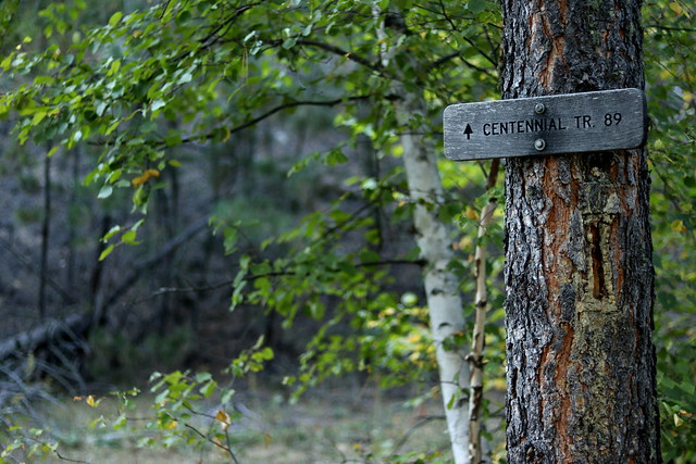
Then we reached this sign:
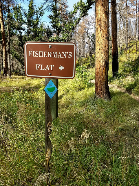
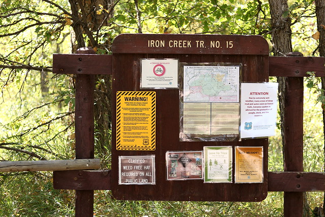
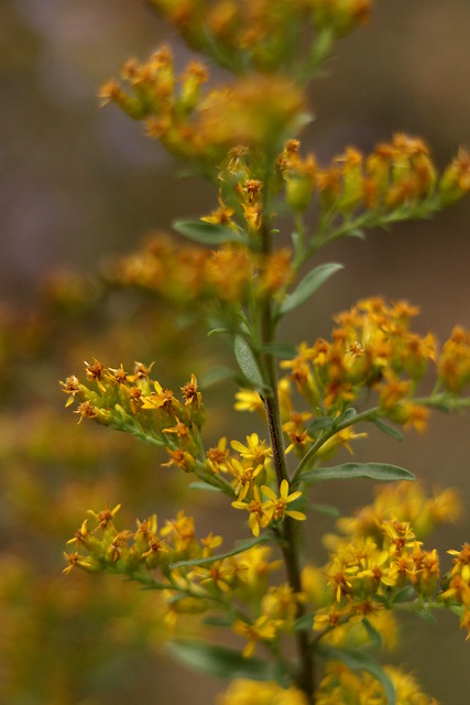
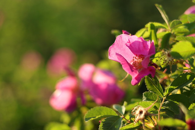
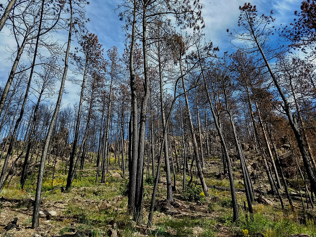 Fisherman’s Flat. The trail we were on continued on up that hill and veered to the right. We followed it a little, but it became clear that wasn’t our trail. The hillside was steep and covered with black-charred standing dead, eerie yet peaceful, with yellow wildflowers brightening the rugged slope. It always amazes me what fire does to a landscape, and not the destruction either, but the renewal. Really amazing. Anyway, we worked our way back down to the creek, since we figured that was where we needed to go. We were now in the bushwhacking, boulder hopping, cliff climbing phase of the hike. But we didn’t know that yet. We left the comforting trail behind us and entering some sort of no-man’s land. There wasn’t a trace of trail from this point on for a long time, except a faint scratch here and there of what might have been trail, maybe, if you squinted and tilted your head just so. I changed back into hiking boots, and by the next crossing my feet were soaked.
No, seriously. You will get wet.
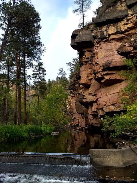
 The canyon started to draw together, and the comfortable thought that we had bypassed the Narrows grew fainter, and a little uncomfortable thought that we hadn’t bypassed the Narrows grew more persistent. Let me explain the Narrows. At this point, the canyon becomes narrower (see, it’s an aptly named spot), French Creek becomes all the more powerful, the boulders in the creek get bigger, the canyon walls get steeper, the brush along the creek gets thicker, etc. And the trail is gone. And I mean gone. Some things we read seemed to suggest that it was possible to follow other hikers’ trails along the creek, but I don’t know what other hikers they were talking about. All the other hikers seemed to have stopped somewhere around Fisherman’s Flat. There was absolutely no trail. It was guesswork. So we guessed our way down the creek and across the creek and then unmistakably came to the Narrows. We’d wondered once or twice a ways back, but this was unmistakable. The going stopped altogether. And again, the picture doesn’t do this spot justice.
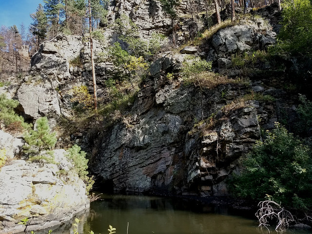 Seemingly sheer cliffs on either side, and the creek suddenly became so deep it was almost like glass on top, funneling through a narrow channel. Hiking guides I had read suggested it was possible to swim the length of the Narrows, “about 100 feet,” but that sure wasn’t on our agenda. Maybe if it had been 100 degrees out, but it wasn’t. The water was freezing, deep, and scummy on top. No, thanks. So we turned around and veered up the side of the canyon. Scrambled, hands-and-feet fashion, to the top, emerged on top streaming sweat and heaving for air, and then practically slid down the other side. Then crossed the creek very wetly, had a surprise encounter with an irritated rattlesnake, scrambled up another cliff, and slid down the other side. Great fun. Makes your knees feel 80 years old.
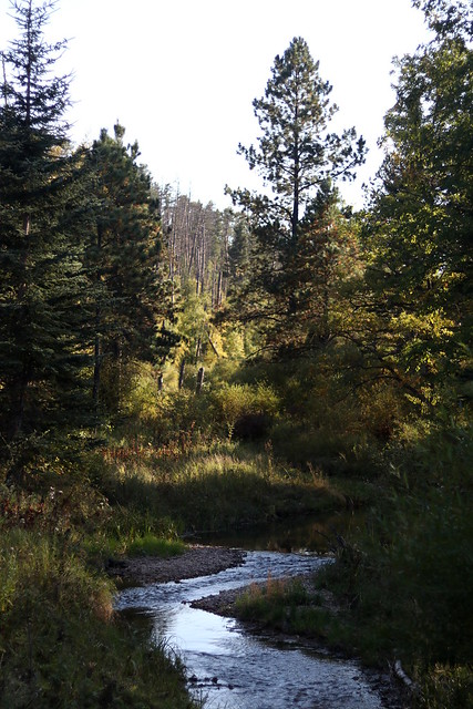
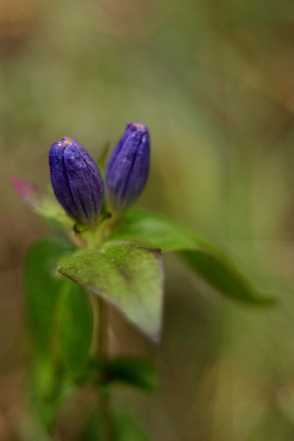
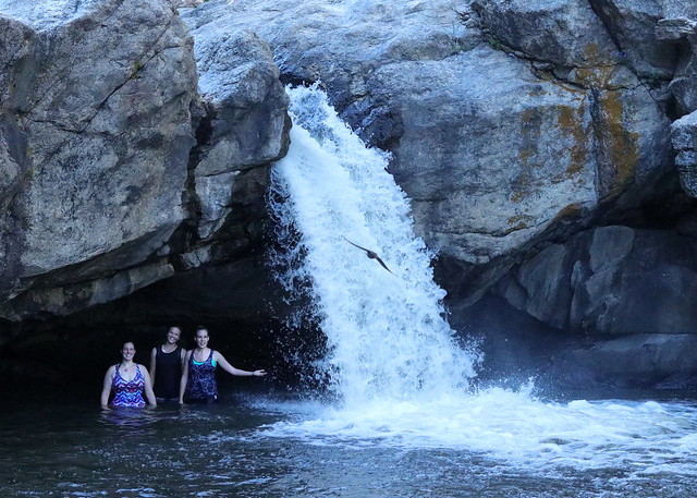
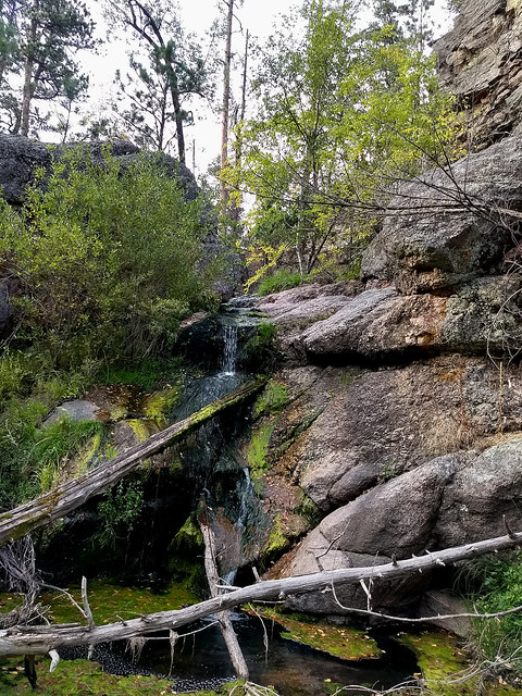
Now, what was nowhere in anything I read about this area is that after the Narrows it never really opens back up. From then and for the next couple of miles, there is no trail and it is some pretty hefty bushwhacking and creek stomping. Wet creek stomping. But this middle part might just have been the prettiest part of the whole hike. The creek was wonderfully wild, and we spotted little gems along the way, such as this waterfall.
 Back to the creek crossings. I’ve got butterfingers and never tried to take a picture in the middle of the creek, but here are a few that Axel got of French Creek.

 Axel kept pretty careful count of the crossings from the beginning, but stopped counting at 29, since that’s when the actual “crossings” ceased, and we started wading for long stretches at a time, right around the Narrows. How do you count those? So we really don’t know how many creek crossings there were, but we do know that for almost 13 miles, we zig-zagged back and forth across the creek and then finally in the creek itself, when the brush on the shore was too thick to navigate. We estimate that we were in the creek for a mile, all told. So much for keeping dry. But I found, to my pleasant surprise, that the water actually felt great and was a cushion against any kind of friction. Because, as we had been told, you will get wet on this hike. Wet. Usually we could wade in nothing more than knee-deep or just below the knee, but occasionally we stumbled into deeper spots that went halfway up the thigh.
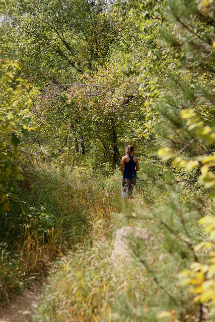
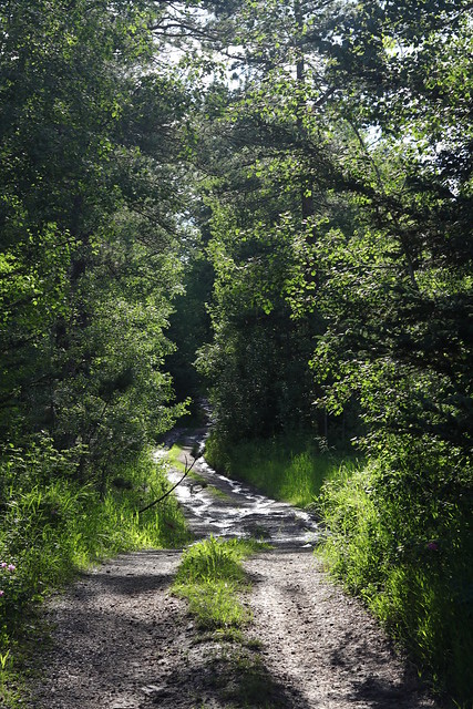
 We’d been watching the time tick by and began to feel that we were racing the clock to be to the end of the trail before dark. We had lights with us, but were not at all anxious to be bushwhacking in the dark. I fully understand why people backpack this area instead of trying to do the full 13 miles in one day, although we did it and others supposedly have, so it is doable. It just depends on what kind of hiking experience you’re looking for. We’d occasionally see little tracks of pressed down grasses that looked like the shreds of a trail, but as quickly as we found them, we’d lose them again. And again. But finally, in the last mile and a half or two miles of the hike, we started to see signs of human disturbance. A footprint here, an improved bank, even a little spillway near a creek water-level meter. Finally, the trail was unmistakable and I knew I wouldn’t have to suffer the embarrassment of missing church the next day, particularly since I was scheduled to do music.
 The sun was gone and the canyon was starting to feel a little dusky. I have to admit, I was pretty thrilled to finally find the trail again. Our official mileage for the hike was 12.8 miles, definitely a good day’s work.
A couple things I will say to close out this article, to kind of set the internet records straight, since I don’t feel that anything I read fully did justice to what this area is like. Now maybe you’ll hike it and get finished and think, “Good grief, she way overblew this! This was an easy hike!” But I doubt it. There’s a reason you can hardly find a review on this particular hike. To quote a line from this hike, “I’m afraid we might have been lied to.”
1) Do NOT try to hike this one alone. I know it is hiking wisdom never to hike alone anyway, but this is one hike to absolutely not hike alone. If you happened to slip and get injured in a creek crossing (likely), fall off a cliff (definitely possible), get hypothermia (likely), sprain something (highly likely), you wouldn’t be found for a long time. Seriously. So don’t hike this one alone.
2) Tell people where you’re going, even if you’re hiking with someone. Self explanatory.
3) Take a walking stick or a pair of trekking poles. I would recommend trekking poles, if they’re sturdy enough for rough usage. The first couple of creek crossings were dicey without sticks, and I can safely say we would have gotten a lot wetter or worse if we hadn’t picked up sturdy sticks along the way. Amazing the difference an extra balancing point makes when crossing or wading in the creek on slippery rocks, especially as your legs grow fatigued and your feet start to hurt! We avoided a number of deeper spots in the creek by probing with the staffs, and were able to avoid twisting our ankles in the tangle along the shore. By the time we finished, we felt deep fondness for our walking sticks and kept them. Trekking poles would have been even better, but I was being frugal. By about mile 11, I couldn’t have cared less about frugality.
4) Don’t even try to keep your feet dry. It is impossible, so just embrace it from the beginning and you’ll save yourself some time and effort. This is not a creek where you can bushwhack a little up or downstream and find a crossing. We tried to keep our feet dry for, oh, I don’t know, the first four crossings. We gave up quickly, and our time greatly improved, and it was much less effort.
5) Watch your step. The whole way. If it isn’t slippery rocks at the creek crossings, it’s stump holes from Legion Lake Fire, ankle-deep mud, or poison ivy, or poison oak, or rattlesnakes. Watch your step.
6) Poison ivy…yes. I’ve never seen as much in my life. So if you’re sensitive to it, you WILL get it. I just don’t see any way around that. Just be aware.
7) Do NOT cut yourself short on time. And don’t wait until the trail gets hard to decide to turn back. The trail is great for about 7 or 8 miles. Those last four-ish miles take longer than the first eight-ish and are much more tiring, so keep that in mind.
8) Hike with a GPS or map. This is a must for this hike, or you’ll go crazy. You can’t get lost (that’s the one true thing I read on the online information I read on this hike) since you just follow the creek, follow the creek, follow the creek. Stay with the creek and you won’t get lost. But you might go crazy wondering where you are and how much more of this nonsense you can put up with. Unless you just really love hikes where you’re getting tangled in trees and vines and wading in thigh-high water and staggering out to try to follow what looked like a faint trail only to lose even that again.
9) Lastly, this is a burn area from the Legion Lake Fire in December 2017. Hiking in burn areas does pose inherent risks, so do be mindful of that, particularly if it is a windy day. Look up, look down, look around.
 Now the clincher to this whole wonderful day was actually after we had reached the trail terminus, got one last picture or two by the trail sign, and were walking to my truck. I had a sudden, uncomfortably vivid mental image of my truck keys sitting on the front seat of Axel’s car, 12 miles away. The problem is, it wasn’t just a mental image. I actually had left my keys on his front seat, 12 miles away. Go ahead, laugh. We had a bunch of ideas on how we could resolve this pickle, including calling in “two suspicious persons along the Wildlife Loop Road,” and then just waiting for law enforcement to show up. We didn’t do that. But an hour later, my dear sister and her friend, Luke, came and rescued us. Sweet people. But I won’t hear the end of this for a long time, I know.
 If you decide to attempt this hike, good for you. It is totally worth it. Just be prepared. We were prepared, but we didn’t expect what we found, if that makes sense. It was an absolutely fantastic (miserable) blast, and I fully intend to do it again. There something very exhilarating about abject misery when it resolves in the splendor of a full moon in the middle of nowhere. Not to mention the glorious exhilaration of hard work, sweat, and seeing God’s beautiful Creation from a new perspective, in the untouched places of this region.
 But you will get wet. No, seriously: you WILL get wet.

Support Song Dog Journal and share to social media!
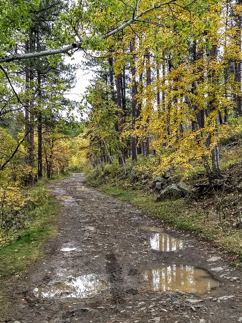
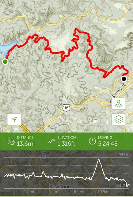 The Flume Trail begins at Sheridan Lake at the Calumet Trailhead and terminates at the Coon Hollow Trailhead just west of Rockerville. Officially said to be 12.8 miles, we clocked it at 13.6 miles. Definitely a less challenging hike as far as terrain, with a good majority of the trail on the level, but the length made it a good workout. The starting elevation at Calumet Trailhead is 4635 feet, and it ends at 4492 feet at Coon Hollow Trailhead. The number of trailheads along its length would make this a great trail to hike in segments, if you didn’t want to do the whole thing, and there are also a couple options for scenic spurs or loops for those who want a longer or more challenging hike, including the Spring Creek Loop, the scenic Boulder Hill Loop, and the Boulder Hill Trail. Spring Creek Loop and Boulder Hill are both hikes which can be done by themselves. We parked a car at each trailhead, which is a good way to get the whole length of the hike in, unless you want to do an overnight. We did take the Boulder Hill Loop, instead of taking the shortcut, which had beautiful views of Silver Mountain and Boulder Hill and lovely, open meadows.
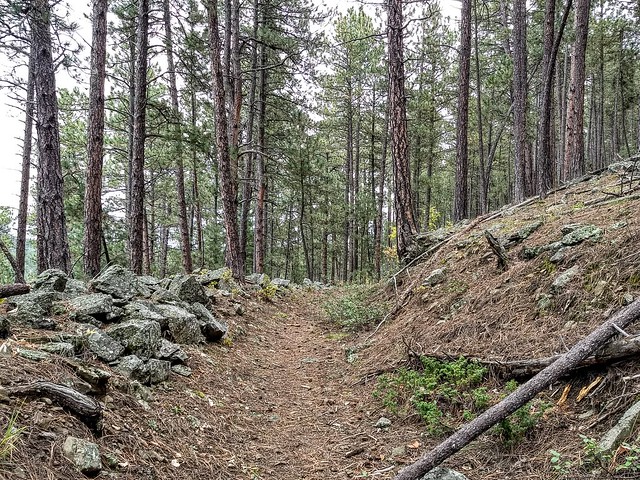 The Flume Trail follows a segment of the flume (a wooden trough used to carry water) used in the mining days. It is amazing to think of the sheer amount of physical labor the miners did to construct this flume, first to level out the channel, sometimes carving deep into granite to make a downhill path for the water, and then to build the wooden flume itself. The wooden parts are gone, but the channel remains, in some places clearer than others. Flume remnants crisscross the Hills, including my family’s property. A neat bit of evidence of all the work that went into working the Hills in the early days.
 Early on in the hike, we passed a number of older individuals who were part of a Volksmarch society and were hiking a segment of the Flume Trail (they were planning to do the Crazy Horse Volksmarch today) and later on we encountered another couple of hikers and a trail runner or two. I like how versatile this trail is, and accessible by a lot of people!
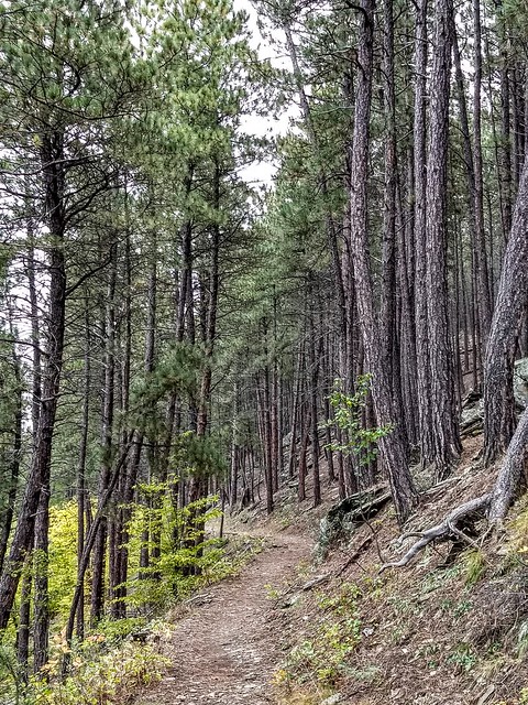 The hike features flume tunnels, as well as gorgeous granite formations, boulder-strewn slopes, beautiful hardwood thickets, a couple of minor creek crossings, and other lovely Black Hills scenery. This time of year is particularly gorgeous, when the aspens and other hardwoods light up the ponderosa forest with autumn color.
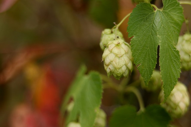
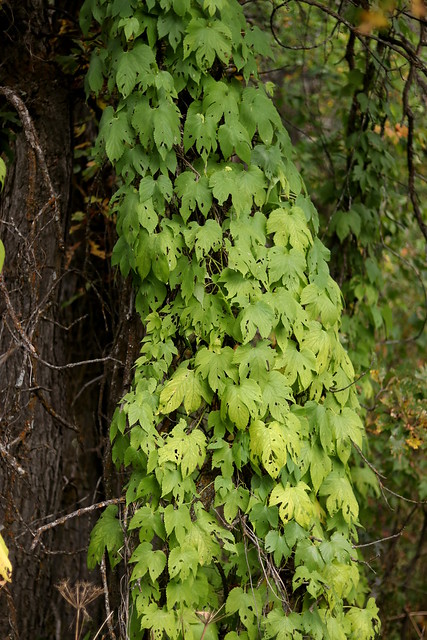

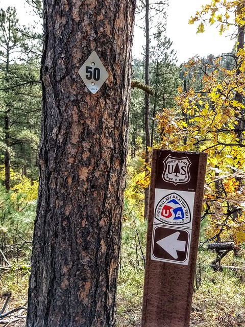
 The trail intersects with rural ranch roads and forest service roads a number of times, sometimes following a two track for a ways before branching off into official trail again. The trail generally is clearly marked with blazes on trees or brown trail markers, but occasionally the trail would branch and we’d have to search a little to find which branch we were supposed to take. So be aware of that. If you choose not to carry a map or GPS, give yourself extra time in case you get off on the wrong branch of trail, or miss the trail altogether.
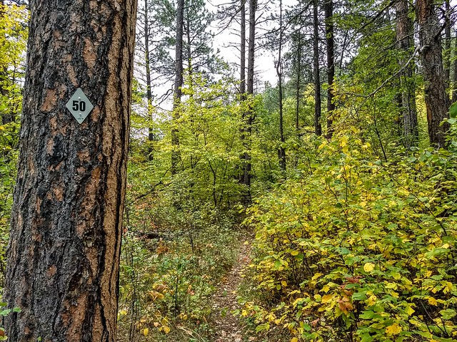
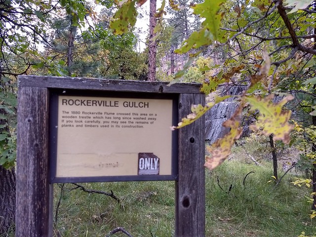
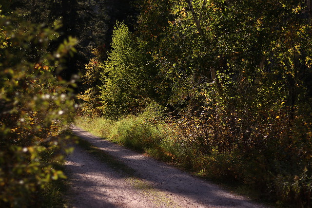
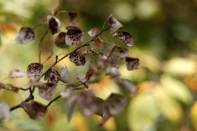
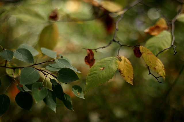
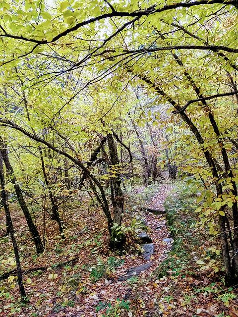 Towards the southern end of the trail, past Boulder Hill, the trail descends into Rockerville Gulch, which was a blaze of autumn yellows. The trail narrowed for a ways, winding through forest of oak and aspen and ironwood. Really a beautiful part of the trail.
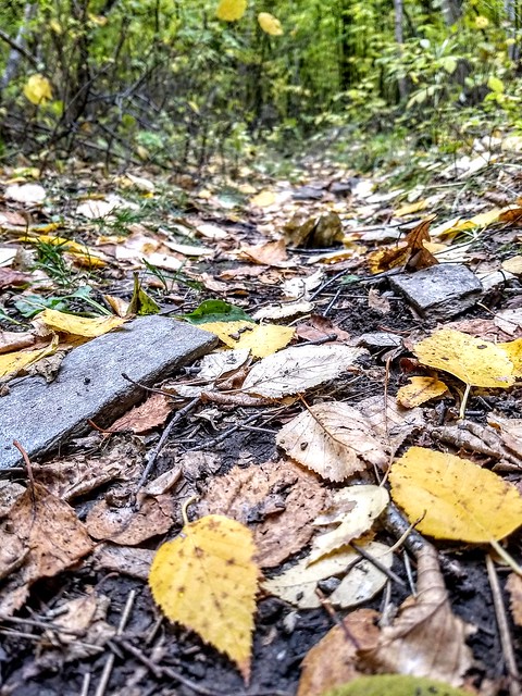 New hikes are always fun, and this is such a great time of year for it. I love the dirt and pine needles and fallen leaves underfoot, and the quietness of the wind in the tree tops. I love getting out into the silent parts of the Black Hills, where I can’t hear cars and traffic, where I don’t see tourist helicopters, far enough in that I’m tired when we get to the end, enjoying that precious time with friends, talking about Jesus and enjoying the beauty of our Creator’s creation. What a gift.