Hiking | Buckhorn Mountain

Another gorgeous weekend and exhilarating hike in the books. I’ve really never found something I enjoy as much or as thoroughly as I enjoy hiking. We were going to hike Mount Baldy, but on the way home from church made a quick switch decision to hike something new instead. This may have been even better than Baldy…
IMG_20190407_164559265_HDR
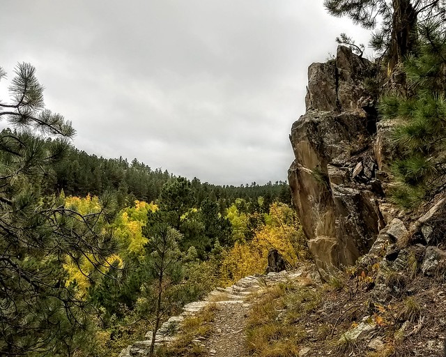
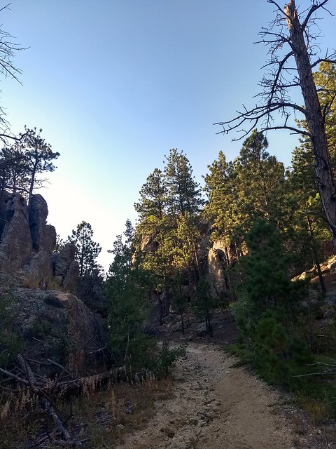
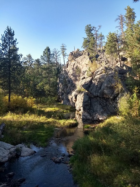
Buckhorn Mountain is a recognizable granite peak and ridge formation just north of Custer along Hwy. 16/385. What is generally photographed is not actually the highest point, however, so don’t let that throw you. Look at in on a topographical map and it makes sense, but I was confused for awhile when it seemed like we weren’t actually hiking Buckhorn.

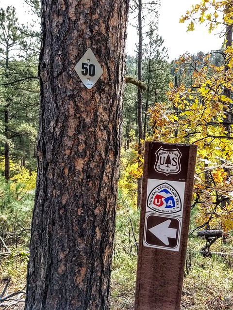
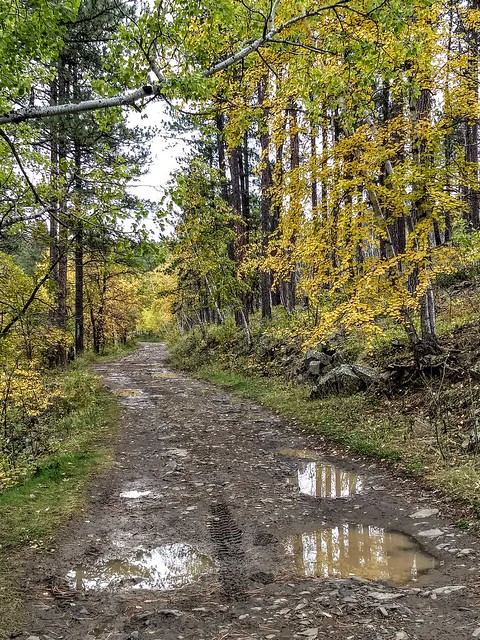
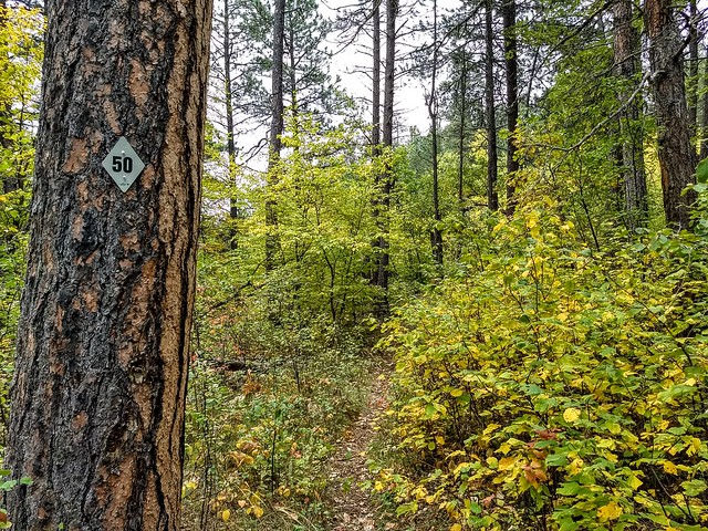
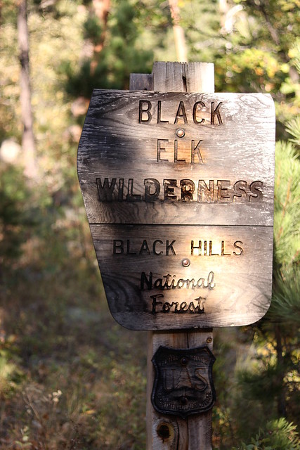
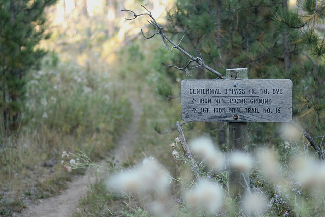
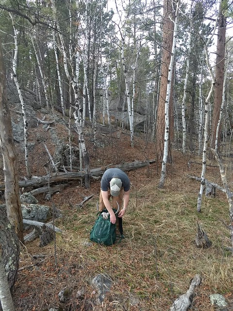
There is no trail, so the best access is to hike up the Michelson Trail from town, and after about a mile head off trail east toward the peak. Keep it in view and you can’t get lost. As long as you can still climb higher, you’re not there yet. Round trip, it is a little under 4 miles. We picked what seemed like the most direct route(and the route that would include some boulder scrambling), up the west slope of the mountain, and boy, were we in for a treat! Plenty of scrambling to satisfy that craving, and gorgeous glimpses of views along the way up. We discovered a much easier route on the way down, however, on the south slope.

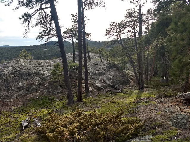
This peak clearly gets very little attention, and for good reason. There are a lot of snags and deadfall, steep slopes covered with duff, and lots of boulders. But if you feel like braving it, the view from the top is magnificent. The whole way up, we were watching a particular peak, only to get up to a saddle between it and the real peak and realize it was a false summit. This is a beautiful view of the false summit, from an open meadow on the way back down: IMG_20190407_164542021_HDRFrom the top, Crazy Horse, the Harney range, Custer, and everything in between is laid out like a map, clear and pristine and beautiful. I always enjoy getting up high enough that birds are soaring at eye level or lower.IMG_20190407_171725324

IMG_20190407_171209222_HDR
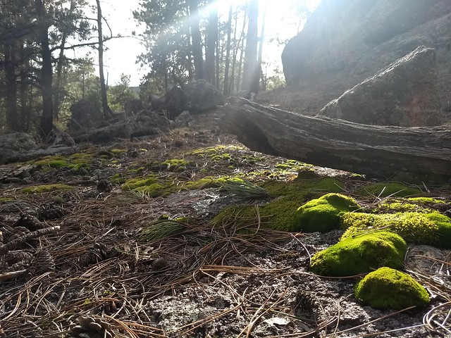
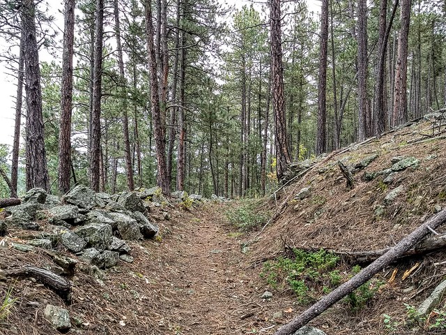
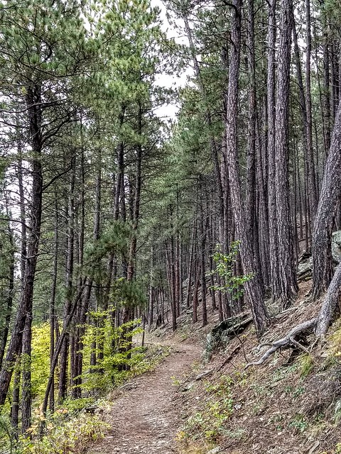
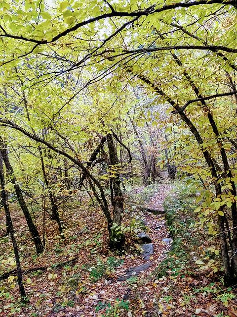
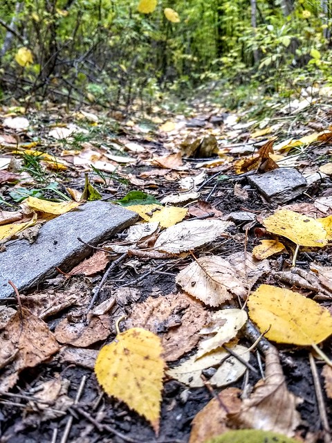
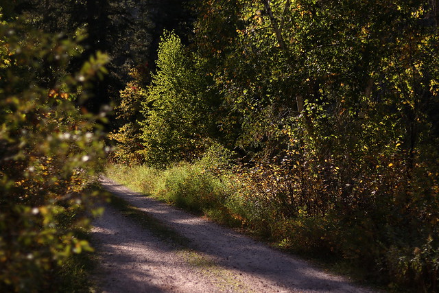
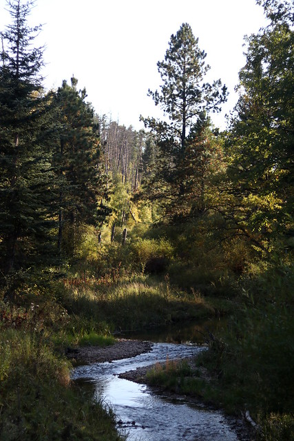
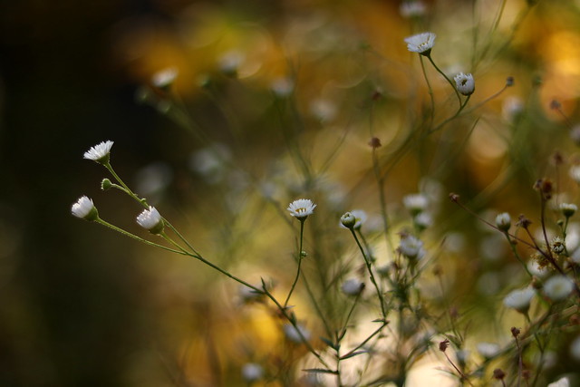
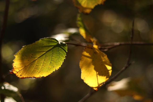
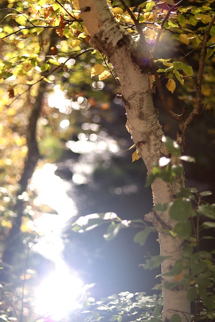
On the way down, we found an easier route, which meandered through beautiful, open woods and boulder-strewn hillsides, emerald-green, kinnikinnick-covered slopes, and mossy spring areas. I can’t pinpoint the feeling exactly, but certain areas of the hills, including this hike, kept reminding me of Tolkien’s Middle Earth, or C.S. Lewis’s Narnia. Rugged, wild, and hauntingly beautiful.  Axel also found an intact deer rack, which he didn’t want but I did, so it got a ride back on his pack. IMG_20190407_172351841IMG_20190407_172620580Definitely a hike I recommend, if you like some rock scrambling and off-trail hiking!


Hiking | Flume Trail #50

Sometimes I realize just how unvaried my choice of “fun” is. If someone asked me what I do for fun, I’d have to say, “Well, I go hiking.” “Anything else?” “….Not really.”

And I like it that way.

Actually, I love it that way.

Winter came early for a lot of the Black Hills on Friday, with as much as 6 inches of snow falling in Custer, SD. We got no snow where I live, just miserable, cold drizzle, but as we drove down Calumet Road on the way to Sheridan Lake yesterday morning, there was snow in patches under the trees, evidence that fall is already marching towards winter. I wondered if I had brought warm enough layers for this hike, and was very glad I had remembered to grab a pair of lightweight gloves. It was a crisp morning, a beautiful day to hike the length of the Flume Trail #50. All four of us had been on parts of the Flume Trail, but none of us had done the whole thing, end to end.IMG_20180929_110635209_HDR42829137_244059916249169_5769549802031284224_nThe Flume Trail begins at Sheridan Lake at the Calumet Trailhead and terminates at the Coon Hollow Trailhead just west of Rockerville.  Officially said to be 12.8 miles, we clocked it at 13.6 miles. Definitely a less challenging hike as far as terrain, with a good majority of the trail on the level, but the length made it a good workout. The starting elevation at Calumet Trailhead is 4635 feet, and it ends at 4492 feet at Coon Hollow Trailhead. The number of trailheads along its length would make this a great trail to hike in segments, if you didn’t want to do the whole thing, and there are also a couple options for scenic spurs or loops for those who want a longer or more challenging hike, including the Spring Creek Loop, the scenic Boulder Hill Loop, and the Boulder Hill Trail. Spring Creek Loop and Boulder Hill are both hikes which can be done by themselves. We parked a car at each trailhead, which is a good way to get the whole length of the hike in, unless you want to do an overnight. We did take the Boulder Hill Loop, instead of taking the shortcut, which had beautiful views of Silver Mountain and Boulder Hill and lovely, open meadows.
IMG_20180929_123011962_HDRIMG_20180929_144535113_HDRThe Flume Trail follows a segment of the flume (a wooden trough used to carry water) used in the mining days. It is amazing to think of the sheer amount of physical labor the miners did to construct this flume, first to level out the channel, sometimes carving deep into granite to make a downhill path for the water, and then to build the wooden flume itself. The wooden parts are gone, but the channel remains, in some places clearer than others. Flume remnants crisscross the Hills, including my family’s property. A neat bit of evidence of all the work that went into working the Hills in the early days.IMG_20180929_162759132_HDREarly on in the hike, we passed a number of older individuals who were part of a Volksmarch society and were hiking a segment of the Flume Trail (they were planning to do the Crazy Horse Volksmarch today) and later on we encountered another couple of hikers and a trail runner or two. I like how versatile this trail is, and accessible by a lot of people!IMG_20180929_164824720_HDRThe hike features flume tunnels, as well as gorgeous granite formations, boulder-strewn slopes, beautiful hardwood thickets, a couple of minor creek crossings, and other lovely Black Hills scenery. This time of year is particularly gorgeous, when the aspens and other hardwoods light up the ponderosa forest with autumn color.IMG_20180929_110139253_HDRIMG_20180929_164217860_HDR
IMG_20180929_162450226_HDRIMG_20180929_124948562_HDRThe trail intersects with rural ranch roads and forest service roads a number of times, sometimes following a two track for a ways before branching off into official trail again. The trail generally is clearly marked with blazes on trees or brown trail markers, but occasionally the trail would branch and we’d have to search a little to find which branch we were supposed to take. So be aware of that. If you choose not to carry a map or GPS, give yourself extra time in case you get off on the wrong branch of trail, or miss the trail altogether.IMG_20180929_160603116_HDRIMG_20180929_173134668_HDRIMG_20180929_161809309_HDRTowards the southern end of the trail, past Boulder Hill, the trail descends into Rockerville Gulch, which was a blaze of autumn yellows. The trail narrowed for a ways, winding through forest of oak and aspen and ironwood. Really a beautiful part of the trail.IMG_20180929_160801689_HDRNew hikes are always fun, and this is such a great time of year for it. I love the dirt and pine needles and fallen leaves underfoot, and the quietness of the wind in the tree tops. I love getting out into the silent parts of the Black Hills, where I can’t hear cars and traffic, where I don’t see tourist helicopters, far enough in that I’m tired when we get to the end, enjoying that precious time with friends, talking about Jesus and enjoying the beauty of our Creator’s creation. What a gift.


Hiking | Iron Mountain Loop Trail

Ever since I saw this trail listed in my Falcon Guide hiking book, I’ve wanted to do it, and we finally made it out Sunday after church. The Iron Mountain Loop explores the eastern corner of the Black Elk Wilderness. Other sources list it as a 5.1 mile loop, but we came out at exactly 6 miles. It is a pretty gentle trail overall, but it is long enough and has enough up and down to make it a solid hike that I do think most would enjoy, whether experienced or novice.
IMG_2934eBasic directions for this hike: Start at the Iron Mountain Picnic Area, where the trailhead is clearly marked as Centennial Trail 89B. About a quarter mile down the trail, the trail splits. We hiked clockwise around the loop, so we took the left hand trail, which is the Iron Mountain Trail #16. Eventually the trail intersects with FS 345. Take a right and follow this road for about a mile or mile and a half, with multiple bridges crossing creeks at various points. The Grizzly Bear Creek Trailhead will be on the right hand side of the road. Follow Grizzly Bear Creek Trail for a little less than a mile, taking a right onto the Centennial Trail. After a little more than a half mile, take the Centennial Bypass, clearly marked towards the Iron Mountain Picnic Area, to complete the loop.
2018-09-17_01-49-542018-09-17_01-50-172018-09-17_01-50-31IMG_2968eIMG_3039e
IMG_3030eIMG_3008eThis time of year is one of the prettiest in the Hills, when all the aspens and other hardwoods start to turn and brighten up the dark ponderosa and spruce forests. Wildflowers are still abundant, but are quickly being overshadowed by the brilliance of the autumn foliage. Deer, squirrels, snakes, and a few sleepy bumblebees were pretty much the extent of the wildlife we saw. Maybe we hike too loud. After all, a group hike is a social event!IMG_3003eIMG_2981eIMG_2994eThe landscape was stunning, of course, particularly with the autumn sneaking up on us. One website mentioned a “waterfall feature,” which really was just a pile of rocks down which the water fell a few feet, but it was beautiful nonetheless. I would love to see this trail in the springtime or early summer, since I’m sure the wildflowers would be more than abundant in this area! IMG_3044eTo top off the day, we got dinner at the Himalayan restaurant in Keystone, which I now can highly recommend. Definitely a great way to spend a Sunday afternoon! God’s creation and Christian fellowship. A lovely afternoon.